  What's New! Detailed Sitemap All images © by Roberto Piperno, owner of the domain. Write to romapip@quipo.it. Text edited by Rosamie Moore. Page added in July 2007. |
  Santorino (Thira) Santorino (Thira)
Key dates: 1207 Marco Sanudo, a Venetian adventurer, conquered Nasso and the nearby islands including Santorino. 1566 The last Duke of Nasso, Jacopo IV Crispo, was cashiered by the Sultan, but the Venetians included Santorino in their Kingdom of Candia 1579 Santorino became part of the Ottoman Empire. 1645-69 During the War of Candia the Venetians often controlled the Cyclades including Santorino.
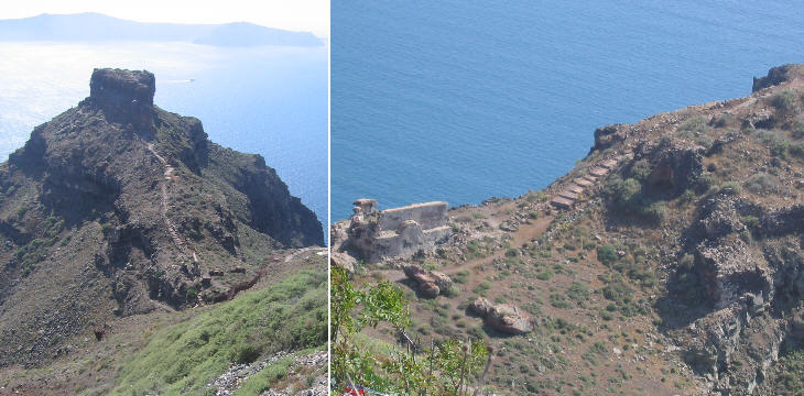
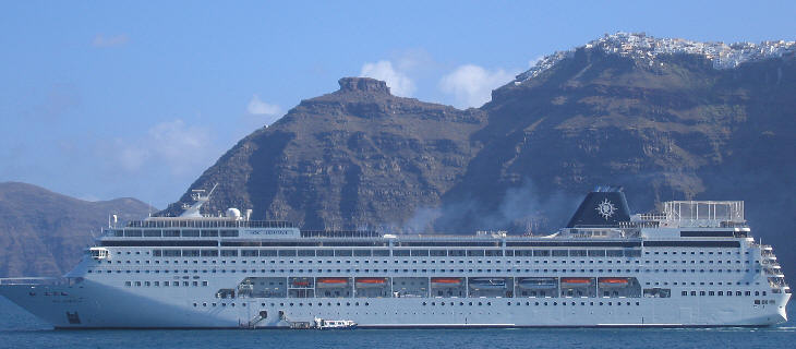
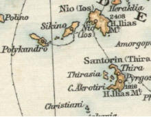
Santorino (or Sant'Irinni) owes its Venetian name to a church dedicated to St. Irene: of its other names Strongyle (the circular one) is perhaps the most appropriate one, because it describes the shape of the group of islands which were left at the end of one of the largest volcanic eruptions known in history. Santorino, the major of these islands has the shape of a crescent. The caldera of Santorino (the sort of lagoon at the centre of the islands) with its deep waters was an excellent natural harbour and the Venetians built Skaro, a small fortified town, at the tip of a cape from which they were able to control both the southern and the northern entrances to the caldera.
In the XVIIIth century in line with what happened on many other islands, the inhabitants of Skaro felt they did not need any longer to live in a location which was chosen for defensive reasons, but was difficult to reach and to live in and they gradually moved to a village which was still on the edge of the caldera, but in a more convenient position. The buildings of the old town gradually crumbled and the earthquakes (a very severe one hit the island in 1956) completed the destruction of Skaro.
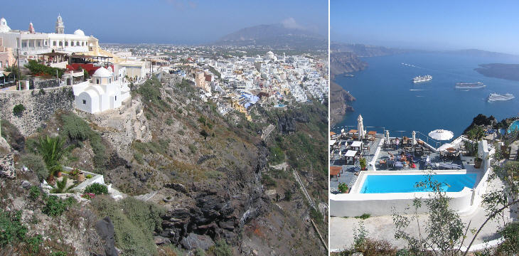
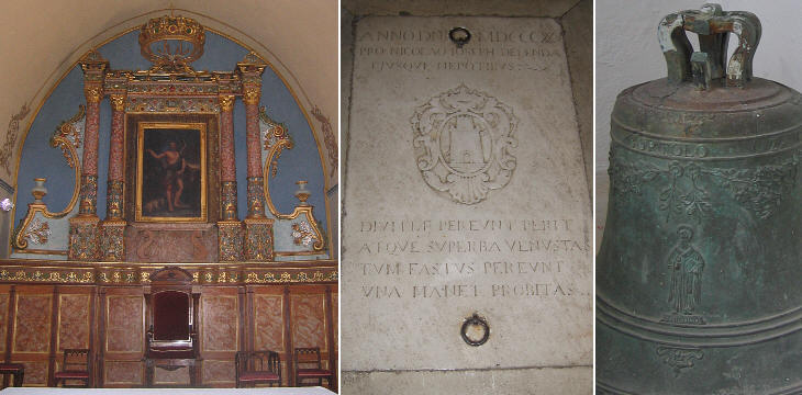
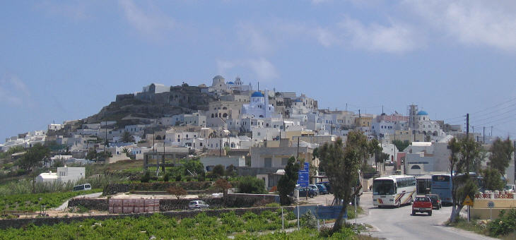
On many Cycladic islands, even after the fall of the Dukes of Nasso, the families of (very remote) Venetian origin retained a prominent role in the local communities: when the inhabitants of Skaro moved to Thira, their new town (a village previously known as Pyrgos due to an existing tower), the Catholic families settled on higher ground: this is still visible in today's Thira: the Catholic quarter with several churches and monasteries (on the left in the photo shown above) is clearly distinct from the Orthodox one built around a very large church.
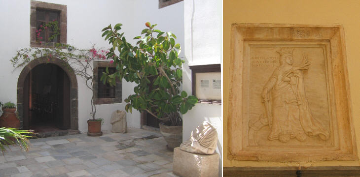
Very few buildings did not collapse during the 1956 earthquake: as it often happens some of the oldest houses held fast while more recent constructions fell apart. The tower/mansion of the Ghisi family (also spelled as Chigi or Ghigi) is the largest surviving building of Thira.
Vincent Clarence Scott O'Connor, who had a career in the Indian Civil Service, travelled extensively in the Cyclades in 1929: in his book Isles of the Aegean (published by Hutchinson) he described his meetings with families of Venetian descent living on Santorino:
Other locations: Emporio
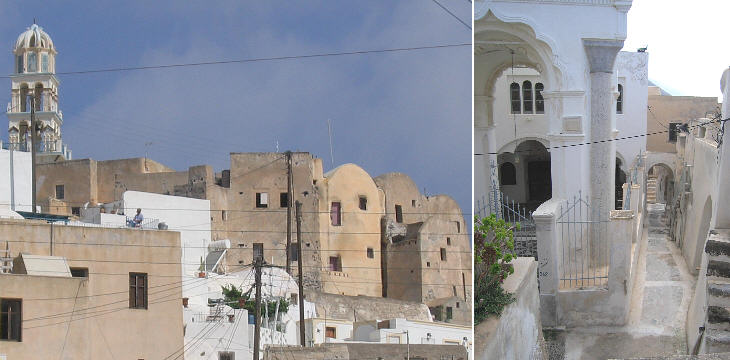
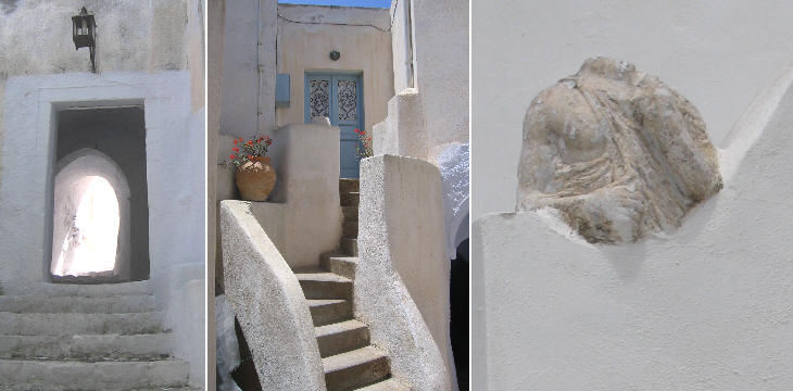
Emporio is a village located on the southern part of the island at a certain distance from the sea. The houses of its older section were built one next to the other with only two small gates leading to the village main church. Although Emporio has now expanded in all directions, from a nearby hill it is still possible to figure out its old fortified appearance.
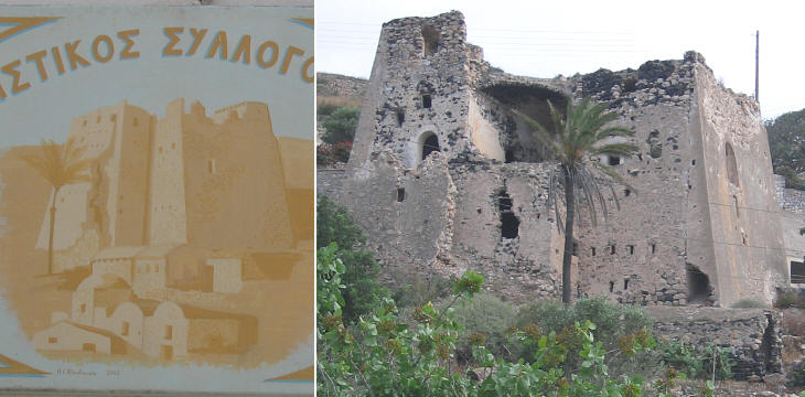
Santorino is the southernmost island of the Cyclades: when the Ottomans acquired it Venice still retained Candia which is located some 60 miles south of Santorino; the new rulers built a large tower on a hill near Emporio in order to detect the arrival of a Venetian fleet early: the Ottomans hoped to check the enemy's attempts to land. However, during the 1645-69 War of Candia, the Venetians for many years had such supremacy at sea that the tower was useless. Santorino and the other islands paid Venice the tribute (a periodic payment made as a sign of dependence) which they were supposed to pay to the Sultan. Also during the war for the possession of Morea (1685-99) the Venetians were able to challenge the Ottoman rule over the Cyclades: only at the Peace of Carlowitz did Venice agree to give up her rights to these islands (with the exclusion of Tine). Other locations: Pyrgos
Pyrgos means tower: in the case of this village, it would have been more appropriate to use the word Kasteli (castle), which the locals reserve for the buildings inside an enclosure at the top of the hill.
Very few people live inside the castle, notwithstanding the fine views it offers over the whole island. Other locations: San Salvador (Ia/Oia)
Old maps identified this village in a very Venetian way: San Salvador (in Italian it would have been Salvatore), probably with reference to the name of a church. The village is located at the very northern tip of the island and the photo of the caldera is taken from here (it includes a blue dome in the foreground - see it in an external link). Introductory page on the Venetian Fortresses Pages of this section: On the Ionian Islands: Corfų (Kerkyra) Paxo (Paxi) Santa Maura (Lefkadas) Cefalonia (Kephallonia) Asso (Assos) Itaca (Ithaki) Zante (Zachintos) Cerigo (Kythera) On the mainland: Butrinto (Butrint) Parga Preveza and Azio (Aktion) Vonizza (Vonitsa) Lepanto (Nafpaktos) Atene (Athens) On Morea: Castel di Morea (Rio), Castel di Rumelia (Antirio) and Patrasso (Patra) Castel Tornese (Hlemoutsi) and Glarenza Navarino (Pilo) and Calamata Modon (Methoni) Corone (Koroni) Braccio di Maina, Zarnata, Passavā and Chielefā Mistrā Corinto (Korinthos) Argo (Argos) Napoli di Romania (Nafplio) Malvasia (Monemvassia) On the Aegean Sea: Negroponte (Chalki) Castelrosso (Karistos) Oreo Lemno (Limnos) Schiatto (Skiathos) Scopello (Skopelos) Alonisso Schiro (Skyros) Andro (Andros) Tino (Tinos) Micono (Mykonos) Siro (Syros) Egina (Aegina) Spezzia (Spetse) Paris (Paros) Antiparis (Andiparos) Nasso (Naxos) Serifo (Serifos) Sifno (Syphnos) Milo (Milos) Argentiera (Kimolos) Santorino (Thira) Folegandro (Folegandros) Stampalia (Astipalea) Candia (Kriti) You may refresh your knowledge of the history of Venice in the Levant by reading an abstract from the History of Venice by Thomas Salmon, published in 1754. The Italian text is accompanied by an English summary. Clickable Map of the Ionian and Aegean Seas with links to the Venetian fortresses and to other locations (opens in a separate window) |
