  What's New! Detailed Sitemap All images © by Roberto Piperno, owner of the domain. Write to romapip@quipo.it. Text edited by Rosamie Moore. Page added in December 2008. |
  - Niksar - Niksar(Ali Pacha Hammam in Tokat) Niksar is an old town which is situated some thirty miles north of Tokat, in the valley of the Kelkit River, a tributary of the Yesilirmak (Green) River. During the Roman period it was known as Neocesarea and a remnant of that name survives in its present one.
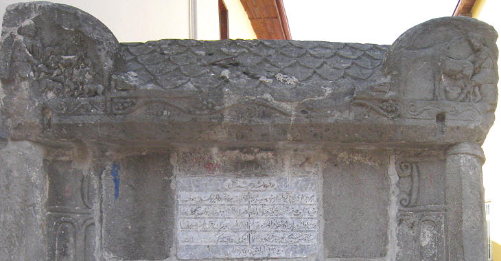
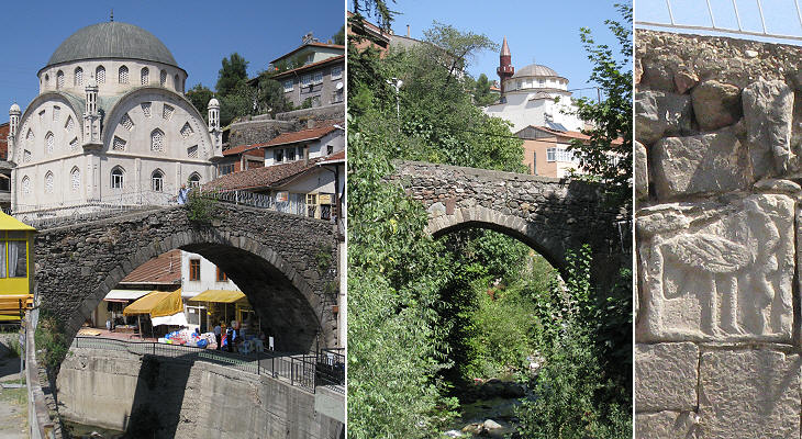
Of its Roman past Niksar retains a sarcophagus which was turned into a fountain. According to Muslim religion the representation of human beings and animal is forbidden, but the reliefs placed at the corners of the lid were so close to the everyday life of farmers and shepherds that they were not erased.
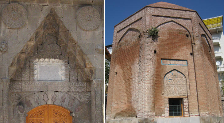
Niksar was one of the main towns of the Danishmend Emirate which was established in the region after the 1071 Byzantine defeat at Manzikert. Towards the end of the XIIth century Niksar became a possession of the Seljuk Sultanate of Rum, based in Konya, the centre of the Mevlevi Order, known as the Whirling Dervishes. A tekke is a Dervish lodge and Coregi Buyuk Tekkesi was built in the early XIIIth century. Its portal follows the pattern of many other Seljuk buildings. Kirk (forty) Kiz (young woman/virgin) Turbesi is a mausoleum built in 1220; it is not the only mausoleum of the region which makes reference to forty virgins; inside Tokat's Gok Medrese there is a mausoleum by the same name. It is probably a legacy of the Christian devotion to the Forty Martyrs of Sebaste, which was particularly strong in the region (the first account of the event was given by St. Basil in Caesarea - Kayseri).
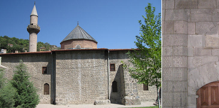
Ulu Camii is a strongly built mosque which goes back to the Danishmend period. Today it is located outside the centre of the town.
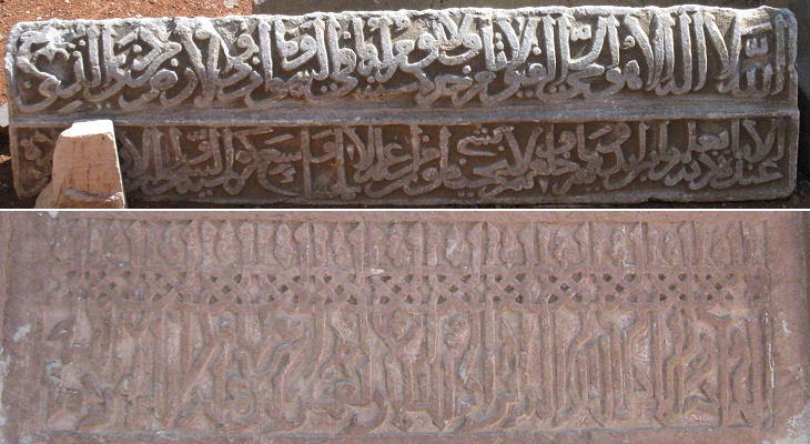
On the hill above Ulu Camii there are several tombs and funerary inscriptions (mainly of the Danishmend period) which are decorated with elaborate inscriptions.
Niksar is located on high ground and at the foot of a hill; two brooks cross the town before joining the main river in the valley. The mosques shown in the photos are modern ones.
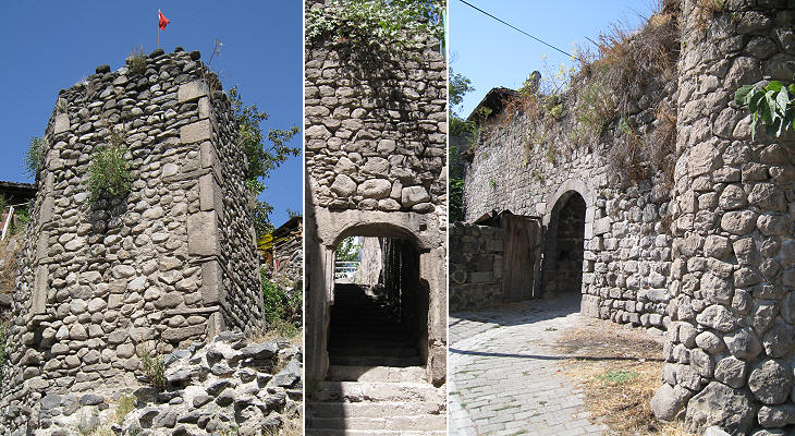
Niksar was protected by walls of which several stretches with gates and towers have not been pulled down; this because the centre of the town is no longer inside the walls.
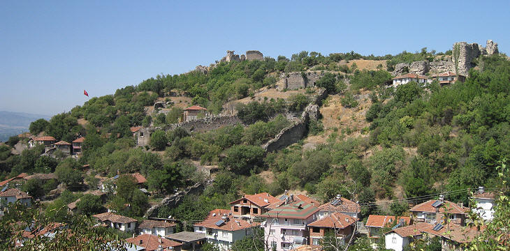
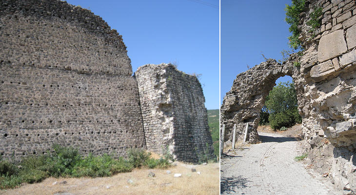
The hill above Niksar was fortified; because its slope was not steep enough huge walls had to be built to effectively protect the garrison. After the Mongol invasion Niksar became part of minor emirates until the end of the XIVth century when it was taken by the Ottomans.
The large fortress was used as a gathering point for the Ottoman armies; in particular in 1461 Sultan Mehmet II moved to the conquest of Trebizond from Niksar.
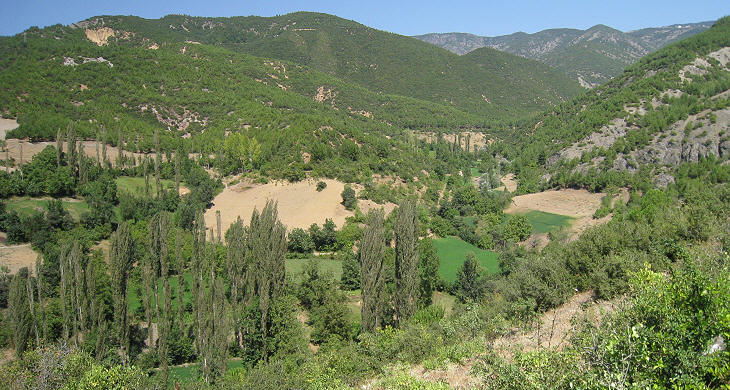
Niksar is some 70 miles away from the Black Sea Coast and the range of mountains between the town and the sea is not very high. For this reason the valley of Niksar receives enough rain and the locals call it the Cukurova of northern Anatolia, Cukurova being ancient Cilicia, a very fertile region around Adana.
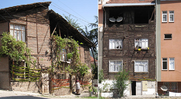
The image used as background for this page is based on a "necklace" of green and red peppers which the inhabitants of Niksar place to dry out on the walls of their homes. Introductory page Safranbolu Kastamonu Taskopru Amasya Turhal and Zile Tokat Hattusa and Yazilikaya Clickable Map of Turkey showing all the locations covered in this website (opens in another window).     |
