
What's New!
Detailed Sitemap
All images © by Roberto Piperno, owner of the domain. Write to romapip@quipo.it. Text edited by Rosamie Moore.
|
 in Central Asia in Central Asia
(detail of a decoration at Abdoul Aziz Khan Medrese in Bukhara)
In today's world the relevance of Central Asia is rather limited; the media rarely report from this area apart from news about the exploitation of its resources in oil and natural gas. The names of the modern countries into which
Central Asia is split are unfamiliar to many and only experts in geography are aware of their
exact location. Yet the region played a great role in the past in two respects: a) as a crossroad of trading routes leading to the Mediterranean Sea, Persia, India and China and later on to Arabia and Russia; b) as the area from which nomadic tribes moved westwards, southwards and eastwards causing gigantic migrations towards Europe, India and China.
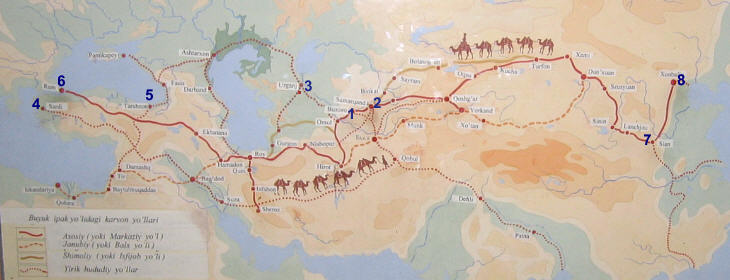
Map showing various trade routes between the Mediterranean Sea and the Far East: 1) Bukhara; 2) Samarkand; 3) Khiva (in other sections of this website: 4) Sardis, 5) Trebizond, 6) Constantinople, 7) Xian and 8) Beijing.
Silk Road(s) is a term introduced in 1877 by German geographer Ferdinand von Richtofen to describe the trade routes between the Mediterranean basin and the Far East.
Silk was one of the main commodities exchanged along these routes, but not the only one; spices (mainly pepper), dye (indigo), furs came to the west through them. Manufactured goods
(small metal objects and glass wares) were shipped eastwards and the imbalance was covered with payments in gold: Roman, Byzantine and Venetian gold coins have been found in many locations in Central and Eastern Asia.
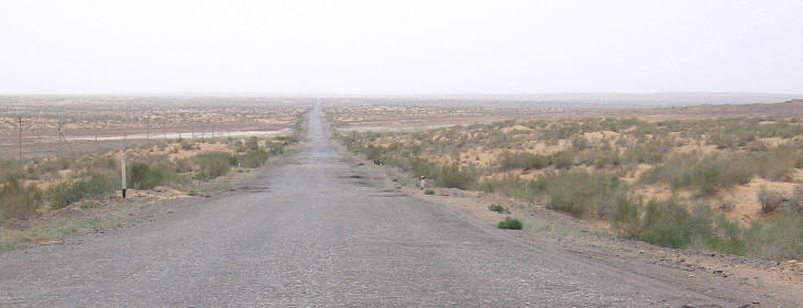
The road between Khiva and Bukhara crosses the Kyzyl Kum (red sands) desert
Central Asia lies to the East of the Caspian Sea; it is separated from Persia, India and China by ranges of mountains, while the northern limit of the area (towards Siberia) is not clearly defined.
Two rivers, Amu Daria and Syr Daria, flow from south to north and they interrupt the steppes and deserts which cover most of the region.
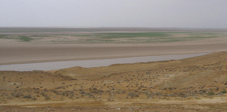
The Amu Daria River divides the Kyzyl Kum desert (lower part of the image) from the Kara Kum (black sands) desert (upper part of the image).
In the XXth century the water of these two rivers was used to irrigate cotton fields; this has greatly reduced the amount of water they carry to the Aral Lake, the area of which has shrunk to one third of its former size.
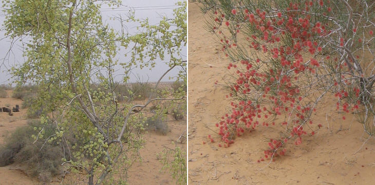
Kyzyl Kum flowers
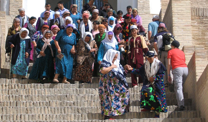
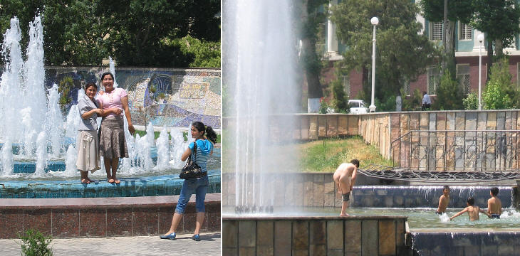
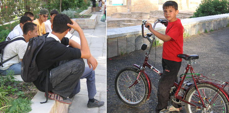
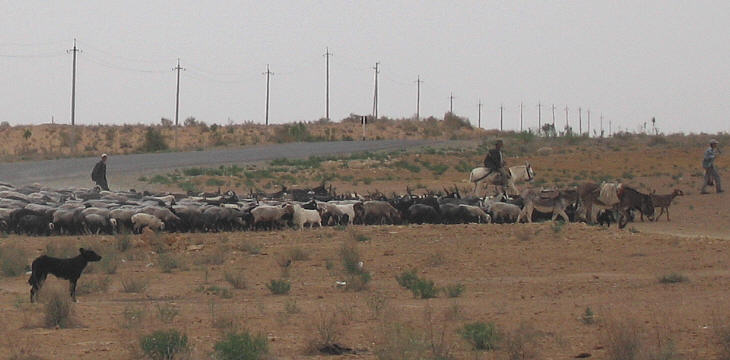
This section deals with the main monuments of the region. The images below show some of the people who live there.
Ladies coming out from the highest Tchortak at Shah-e Zindah in Samarkand
Enjoying the fountains of Samarkand.
(left) Students at Samarkand (Italy is popular among them); (right) a Russian ethnic boy at Gour Emir Mausoleum in Samarkand
Kyzyl Kum shepherds
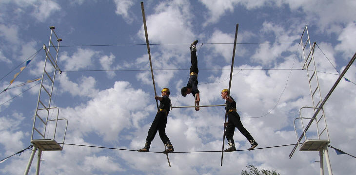
Darboz Acrobats at Mohammed Rakhim Khan medrese in Khiva
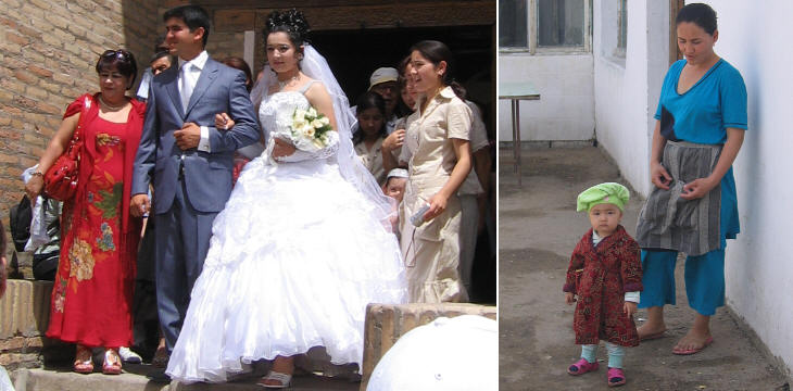
(left) Newly-weds at Pakhlavan Mahmoud Mausoleum in Khiva; (right) mother and child at Bukhara
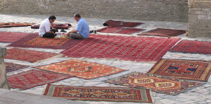
Carpet sellers having a chess game at Magok - I - Attari mosque in Bukhara
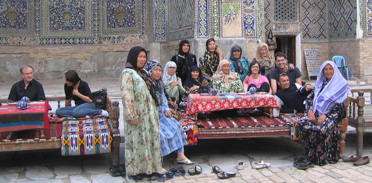
Sitting at an Uzbek table in Chir Dor Medrese in Samarkand
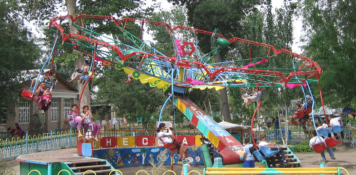
Having fun at a fair in Bukhara
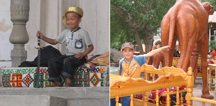
(left) A new Timur at Kourinich Khana (throne hall) in the fortress of Bukhara; (right) having fun at the Liab - I - Haouz garden in Bukhara
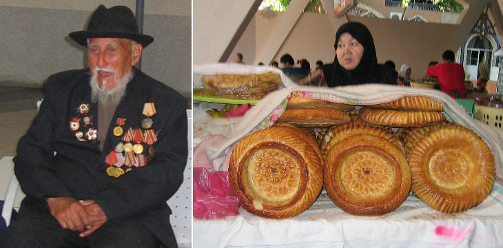
Tashkent: (left) a hero of WWII; (right) typical loaves
The image used as background for this page shows a statue of Timur as portrayed in an Uzbek banknote.
Samarkand
Bukhara
Khiva
Chakhrisabz

SEE THESE OTHER EXHIBITIONS (for a full list see my detailed index).
|


 in Central Asia


