  What's New! Detailed Sitemap All images © by Roberto Piperno, owner of the domain. Write to romapip@quipo.it. Text edited by Rosamie Moore. Page added in October 2008. |
 Towns in the Valleys of the  Rivers Rivers(Ali Pacha Hammam in Tokat) Historical and Geographical Background Information At the end of WWI, when the Ottoman Empire collapsed, the Turkish economy was underdeveloped: its agriculture depended on outmoded techniques and poor-quality livestock, and the few factories producing basic products such as sugar and flour were under foreign control. In addition the emigration of Greeks, Armenians and Jews deprived the country of skilled labourers and entrepreneurs. The economic policies followed by the Republic of Turkey after 1922 were mainly directed at achieving self-sufficiency in agriculture and at developing a basic manufacturing structure. Economic reforms were introduced in the early 1980s: they were designed at encouraging exports that could finance imports. From the beginning of this millennium the country has experienced average GDP growth rates of more than 7%. 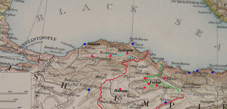
Clickable map of the towns covered in this section (red dots). Blue dots indicate towns covered in other sections. The recent development of the country was accompanied by massive internal migrations from the poor eastern provinces to Istanbul and to the regions along the shores of the Aegean and Mediterranean seas. The increase in population in these areas has in many cases strongly modified the urban landscape. This has occurred to a much lesser extent in the towns covered in this section, which are located between the central tableland and the Black Sea. The three main rivers of this region are named after colours: gok (blue), kizil (red) and yesil (green).
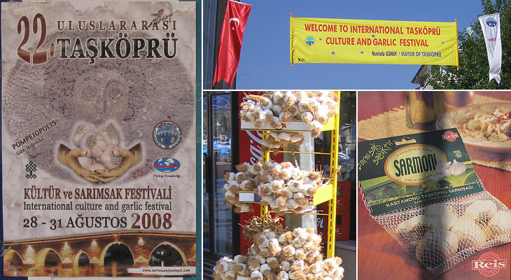
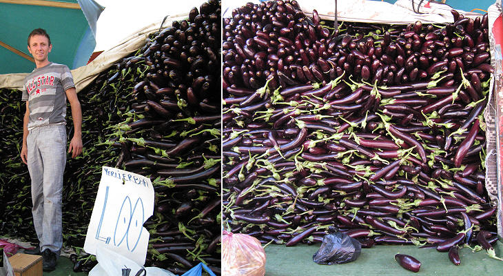
Taskopru = stone bridge (across the Gok Irmak, the Blue River) The Turkish government has promoted the development of agricultural-industrial districts: it is not unusual to find monuments to cherries, tomatoes, pistachios, hazelnuts in towns located in districts which specialize in their production. Taskopru, a town named after its stone bridge on the Blue River, is the Gilroy of Turkey (Gilroy is the Californian town which claims to be the Garlic Capital of the World).
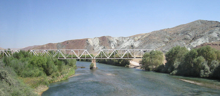
This is the longest river which entirely flows within the border of the Republic of Turkey. It rises in the mountains of eastern Anatolia near Sivas and it crosses Cappadocia at Avanos. It then heads towards the Tuz Golu, the large salted lake at the centre of the tableland. A few miles away from the lake it turns north and it finds a difficult passage through the coastal range; it receives the water of the Gok Irmak before reaching the Black Sea to the east of Sinop.
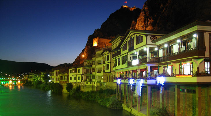
To bear the name of a colour is a challenging task for a river: An der schönen, blauen Donau (On the Beautiful Blue Danube) is a famous waltz by Johann Strauss, but the waters of the Danube rarely stand up to their fame. In Amasya appropriate lighting ensures the Yesilirmak has the colour of its name.
From a historical point of view the region is divided into Pontus, to the east of the Kizilirmak River, and Paphlagonia to its west. Unlike the arid central tableland this part of Anatolia receives enough rain to allow very varied farming in the valleys and the growth of dense forests in the mountains.
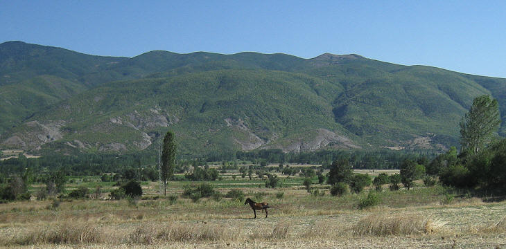
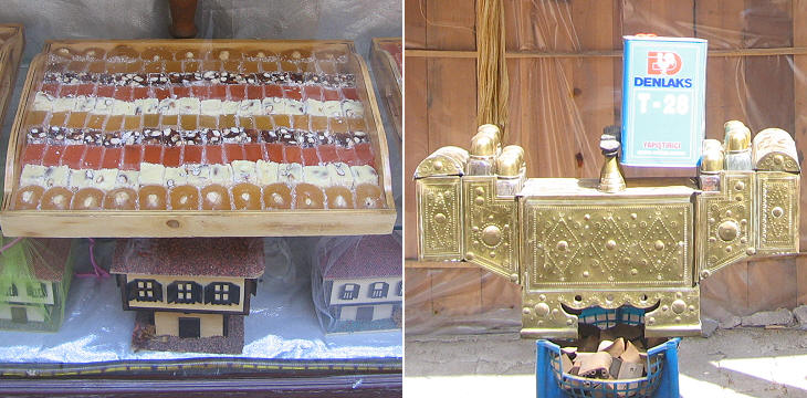
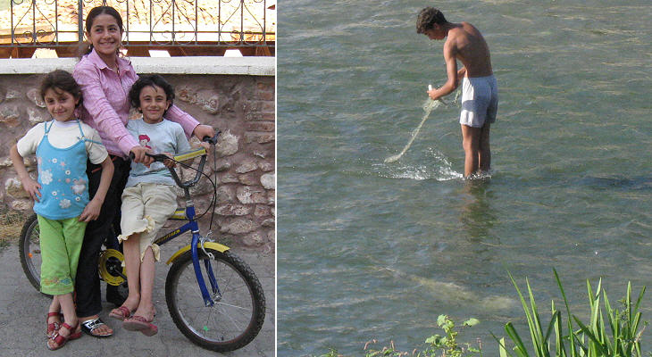
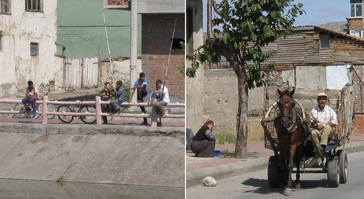
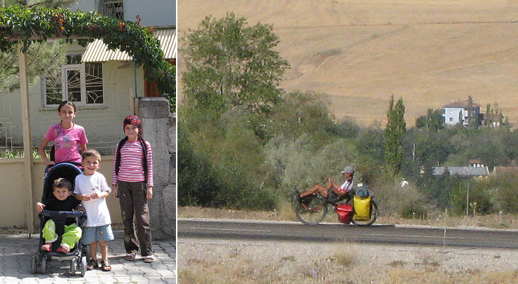
The following are images showing the unhurried lifestyle one can still find in this part of the world.
This section includes some pages on the archaeological sites of Hattusa and Yasilikaya which are located on the tableland. The image used as background for this page shows a detail of the tile decoration of Gok Medrese in Tokat. Move to: Safranbolu Kastamonu Taskopru Amasya Turhal and Zile Tokat Niksar Hattusa and Yazilikaya Clickable Map of Turkey showing all the locations covered in this website (opens in another window).     |
