  What's New! Detailed Sitemap All images © by Roberto Piperno, owner of the domain. Write to romapip@quipo.it. Text edited by Rosamie Moore. Page added in May 2008. |
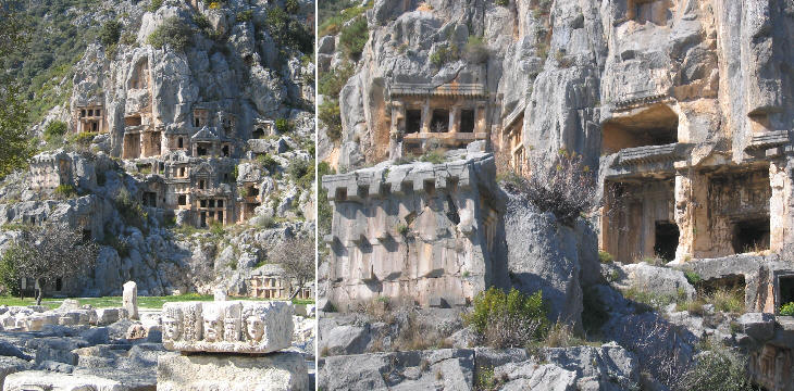
  - Myra - Myra(Theatrical masks at Myra) Myra was located in a fertile alluvial plain near the mouth of the River Demre; today the modern town of Demre (or Kale) which is located just a couple of miles south of ancient Myra, is very prosperous for its many greenhouses where the farmers grow cherry tomatoes.
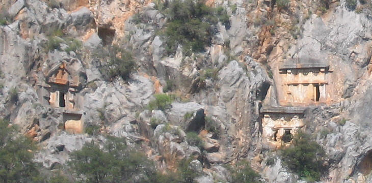
Myra has probably the most impressive rock-cut tombs of Lycia, although they are not as popular as those of Kaunos. They are grouped near the theatre and just below the acropolis.
Unlike the tombs of Kaunos and Telmessos, those of Myra do not resemble a small Greek temple, but in a large number of cases they have a square or rectangular shape which is divided into four or six partitions. The lintels are decorated with rows of rolls, a reminder of the logs used by the Lycians for building their homes.
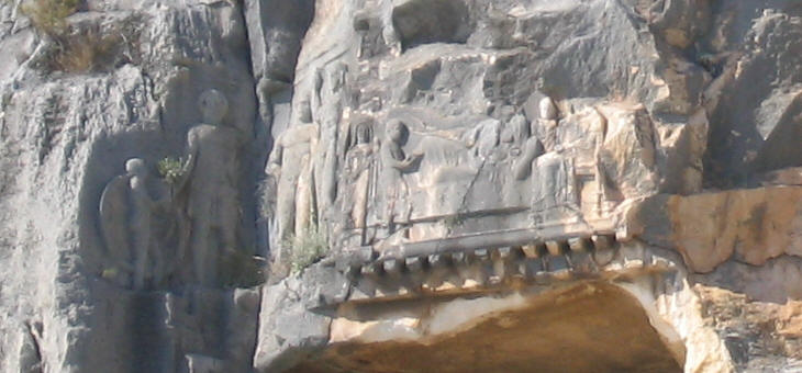
One of the tombs has a very finely carved relief portraying scenes of the life of the dead, including the funerary banquet attended by the deceased himself (the person lying on a couch). The scene to the left shows the deceased father bidding farewell to his son. Between the two scenes there are two young warriors, a likely reference to the man's gallantry.
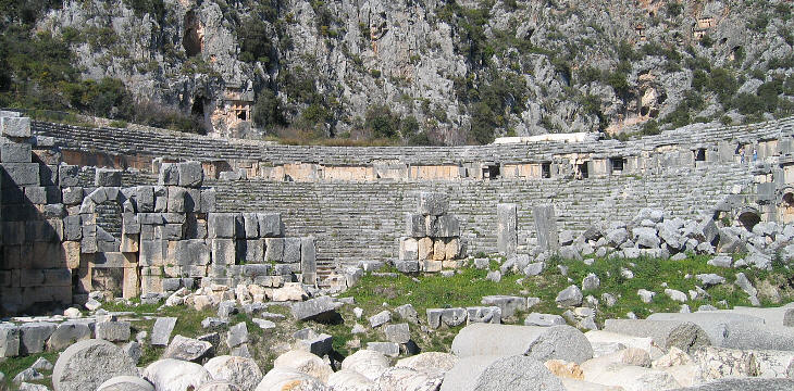
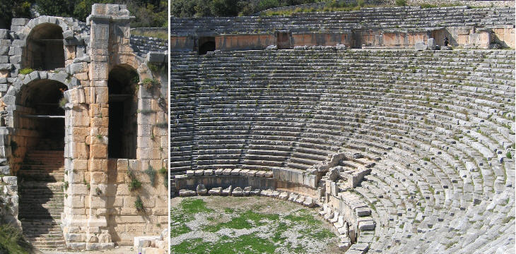
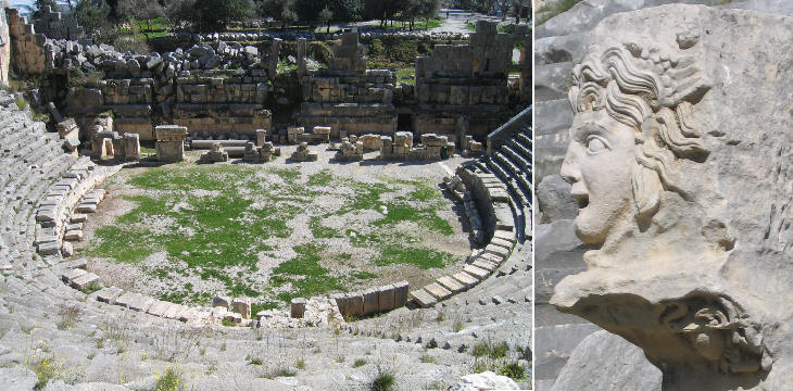
During Hellenistic times a theatre was built by cutting the rock at the foot of the acropolis in order to obtain rows of seats.
A tremendous earthquake struck Lycia in 141 AD, but the region soon recovered: the theatre was rebuilt by making use of large vaulted structures which ensured a greater resistance to seismic activity.
The new theatre and in particular its stage had a very elaborate decoration, mainly based on theatrical masks; the size of the theatre and its decoration testify to Myra's prosperity.
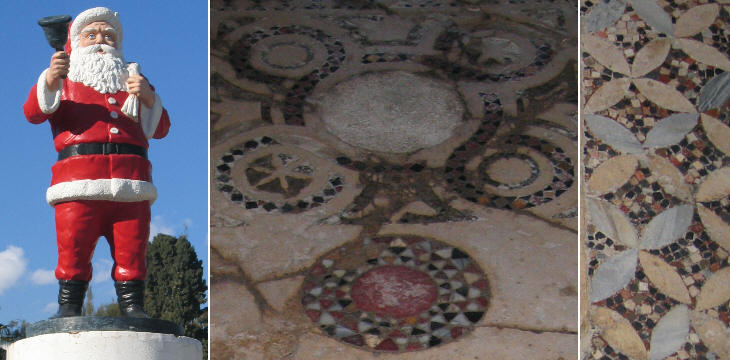
In addition to its vast necropolis and its imposing theatre, Myra had no doubt many temples; of these however no evidence is left since Nicholas, Bishop of Myra in the early IVth century destroyed them all (although at that time the law permitted the coexistence of different beliefs). The bishop was to become one of the most popular saints.
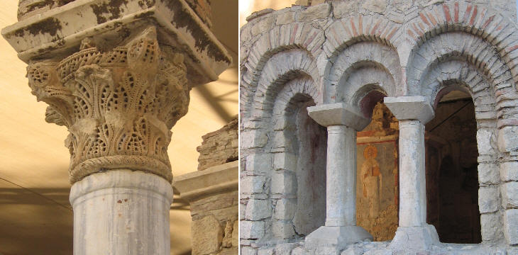
A church was built on the site of the saint's tomb, but the current building is the result of many additions and modifications and in particular of an improper restoration paid by Czar Alexander II in the XIXth century. Myra, as did most of the Lycian towns, declined because of pestilences and Arab raids. In 1087 seamen from Bari stole the remains of the saint and brought them to their town where they are kept in a basilica dedicated to him (the Venetians had done the same in Alexandria with the body of St. Mark). Turkish authorities claim that the seamen took another body and that the true relics are still in St. Nicholas' inside a sarcophagus which is shown to the mainly Russian pilgrims who visit the site.
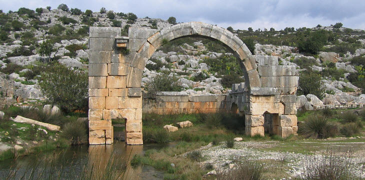
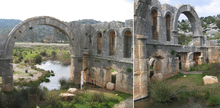
In addition to rock-cut tombs Myra retains a very different funerary monument, which most likely was used to place there the sarcophagi of an important family. It is now surrounded by marshland, but archaeologists have identified a high podium beneath the visible structure.
The tomb was located along the road linking Myra with Andriake, its harbour at the mouth of the river; today it is close to the road linking Demre with Kas. Andriake
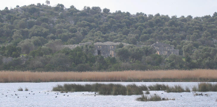
The destiny of Andriake has been very similar to that of Patara and Kaunos. The ancient Romans were able to dredge river beds to prevent their obstruction; the stopping of this practice led to the silting of the harbour; its site is today a marsh which according to the season varies in size.
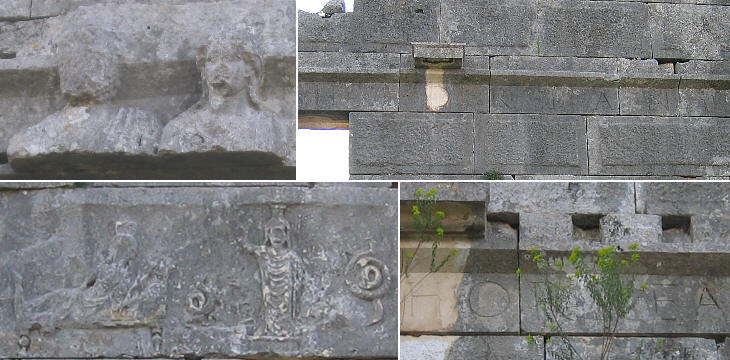
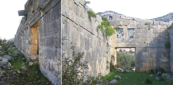
The harbour of Andriake was enlarged and provided with new facilities by Emperor Trajan in order to use it as a logistic base for his military expeditions at the eastern border of the Empire. Emperor Hadrian, who was less keen on war matters, built a very large granary, which apparently was not significantly damaged by the 141 AD earthquake. A similar granary was built at the same time at Patara with the objective of increasing the reliability of wheat supplies to Rome. In a relief the emperor is portrayed next to his wife Vibia Sabina; it is a rare opportunity to see the royal couple: their marriage was an unhappy one and they had no children. A very long Latin inscription decorates the front of the granary.
Introductory page Priene Miletus Didyma Iasos Euromos Milas Kaunos Telmessos Tlos Xanthos Letoon Patara Antiphellos Simena Phaselis Termessos Attalia (Antalya) Perge Aspendos Side Map of Turkey with all the locations covered in this website     |
