  What's New! Detailed Sitemap All images © by Roberto Piperno, owner of the domain. Write to romapip@quipo.it. Text edited by Rosamie Moore. Page added in August 2009. |
  - Birecik - Birecik (relief at Karatepe) The upper reaches of the Euphrates River flow through steep canyons and gorges until the river leaves the Anatolian tableland and enters the large plain known as Mesopotamia. The area where this passage occurs has always been important for the ancient empires which competed for control of the region. The Romans located the headquarters of a legion at Zeugma, on the right bank of the river. Birecik, on the left bank, a few miles downstream of Zeugma, was a fortified site which protected the crossing of the river.
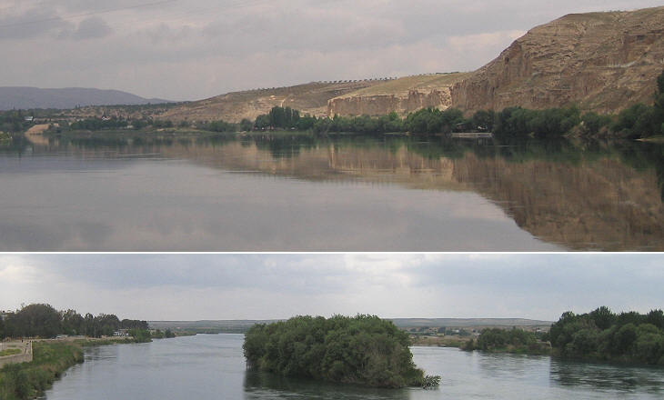
Birecik marked also the point from which the Euphrates started to be navigable by shallow boats (today navigation is commercially viable only inside Iraq). The view from the modern bridge on the road between Gaziantep and Sanliurfa helps in understanding the change of the landscape: the view northwards shows the steep cliffs of Kara Dag (the Black Mountains) and other ridges, whereas the view southwards is not obstructed by mountains.
Birecik (classical name: Apamea, Arab name: Bir) was in turn Roman, Persian (Sassanid), Byzantine, Arab, Armenian and a fiefdom of the Crusaders; later on it belonged to the Princes of Aleppo, the Mongols and the Mamelukes; eventually it was annexed by the Ottoman Empire in the XVIth century; Birecik had minor fortifications to protect a small part of the town near the river.
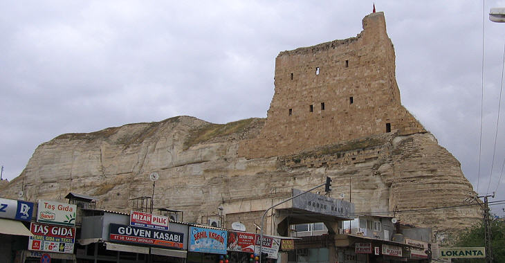
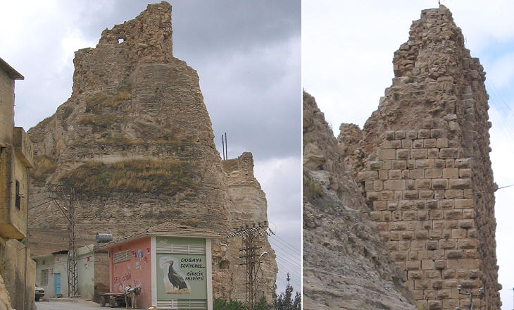
A large fortress stood on the very edge of a limestone cliff caused by the erosive action of the river. The fortress was built by the Muslim rulers of Aleppo who, between 1128 and 1260, managed to create an independent state in today's northern Syria (Birecik is located a few miles north of the border).
In 1838 Helmuth Karl Bernhard Graf (Count) von Moltke (*) travelled extensively in this region as adviser to the Sultan on how to modernize the Ottoman army. He visited the fortress of Birecik which still had three or four levels of outer defences, with crenellated walls. A tunnel led to a groundwater source and thus provided the defendants with a water supply. Images of the fortress in the early XXth century can be seen in this external link (opens in another window).
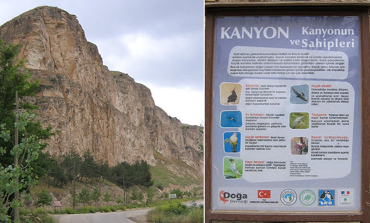
Today Birecik is best known for housing a bird sanctuary for rare species, in particular a black bald ibis (Geronticus Eremita). It is a migratory bird which comes to Birecik in summer for breeding. True to its name it preferred to conduct a hermit's life on the day the material for this page was gathered.
(*) Count von Moltke was the chief of staff of the Prussian Army during the 1870-71 Franco-Prussian War. Move to: Introductory page Tarsus Lampron Adana Sis (Kozan) Laiazzo (Yumurtalik) Karatepe Yilanli Kale Gaziantep Kahramanmaras Kilis Aleppo Cyrrhus Ain Dara Sanliurfa Harran Nemrut Dagi Harput Diyarbakir Mardin Silvan and Malabadi Koprusu Map of Turkey with all the locations covered in this website     |
