  What's New! Detailed Sitemap All images © by Roberto Piperno, owner of the domain. Write to romapip@quipo.it. Text edited by Rosamie Moore. Page added in May 2010. |
  - Mut and Alahan - Mut and Alahan(Sultanhan) The Taurus Mountains with several peaks above 10,000 ft run parallel to the Mediterranean Sea and separate a usually narrow coastal strip from the Anatolian tableland. In ancient times they were covered by forests and were inhabited by the Isaurians, mainly shepherds who were regarded almost as barbarians by the Hellenized populations of the cities. The Calicadnus River (today Goksu) makes its way towards the Mediterranean Sea across the Taurus; its valley reaches a width of twenty miles before the river empties into the sea near Silifke (ancient Seleucia ad Calicadnus).
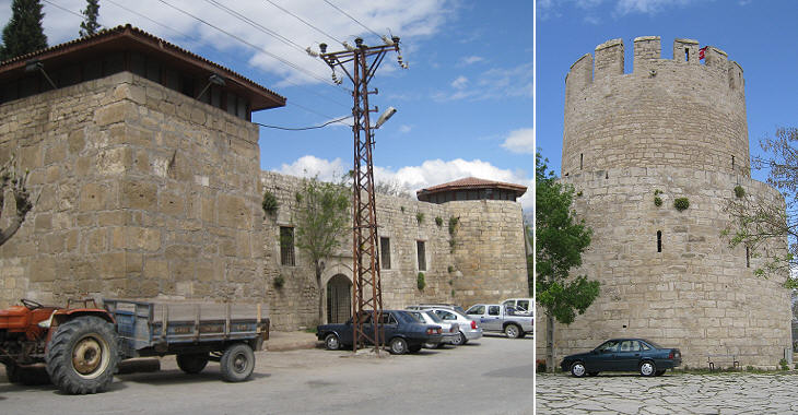
At the centre of the valley a small hill was inhabited from the time of the Hittites; after the conquest of the region by the Romans, a colony was founded to control the valley and the Isaurian tribes in the mountains; the settlement was renamed Claudiopolis. In the XIIIth century the emirs of Laranda (Karaman) expanded their territories by conquering parts of the coastal strip and the Calicadnus valley acquired key importance for them. The fortifications of Claudiopolis (by then known as Mut) were strengthened; the current fortress belongs to a large extent to that period.
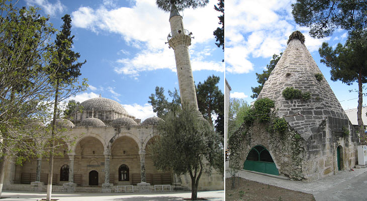
The main mosque of Mut was built in the XIVth century by a Karamanid governor of the town, who is thought to be buried in one of the kumbet (pyramidal mausoleums) behind the building; the mosque was modified in the following centuries and it was given a very Ottoman appearance.
In 1468 Ottoman Sultan Mehmet II (the conqueror of Constantinople) waged war on the Karamanids and defeated them: the inclusion in the vast Ottoman Empire meant a loss of importance for Mut as the importance of the Calicadnus Valley subsided. Alahan
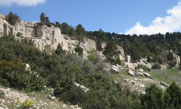
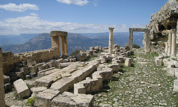
The ruins of a Byzantine monastery lie above the road between Karaman and Mut; they are situated about 3,000 feet above the Calicadnus valley and 4,000 feet above sea level. The monastery was built on a partly artificial terrace having an east-west direction. The site is named after a nearby village.
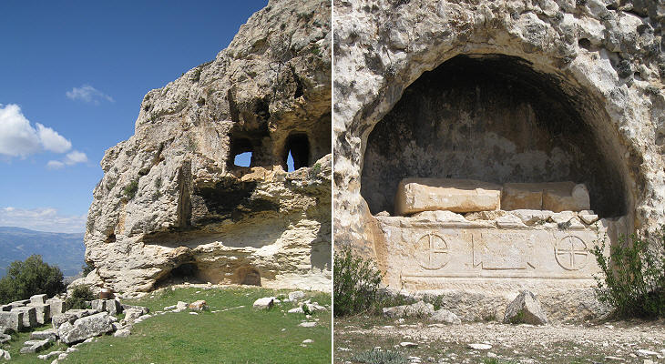
The foundation of the monastery could be due to a campaign for the eradication of pagan beliefs; it is known that the Christian faith was first embraced by the inhabitants of the cities and only at a later period by the rural population (pagan derives from Lat. pagus, village). It is possible that a cave at the eastern end of the terrace was the site of a local shrine and that the construction of the monastery was aimed at stopping its worship.
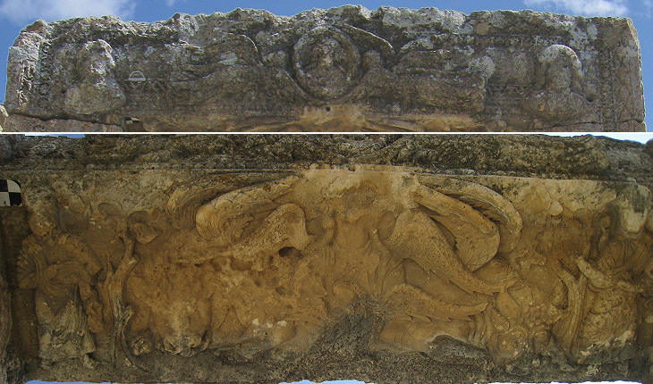
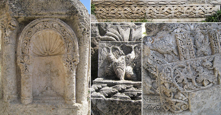
The construction of the monastery is thought to have occurred in the Vth-VIth centuries; most archaeologists believe that it was built at the initiative of the Eastern Roman Emperor Zeno who was of Isaurian origin; the elaborate decoration of the buildings is seen as evidence of his patronage although others believe it is due to a local tradition.
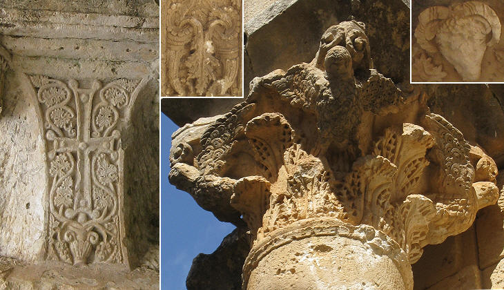
The elaborate decoration could be an indication that Alahan was not just a monastery, but also a shrine and the site of pilgrimages; in this case the many buildings (partly cut into the rock) surrounding the churches were lodgings for pilgrims, rather than cells for the monks.
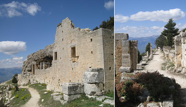
Access to the site was possible only from its western end; from there a colonnaded street led to the eastern church which was built first; this street is another element supporting the theory that Alahan was a site of pilgrimages. Unfortunately the rich decoration was not accompanied by many inscriptions, so archaeologists have to make educated guesses.
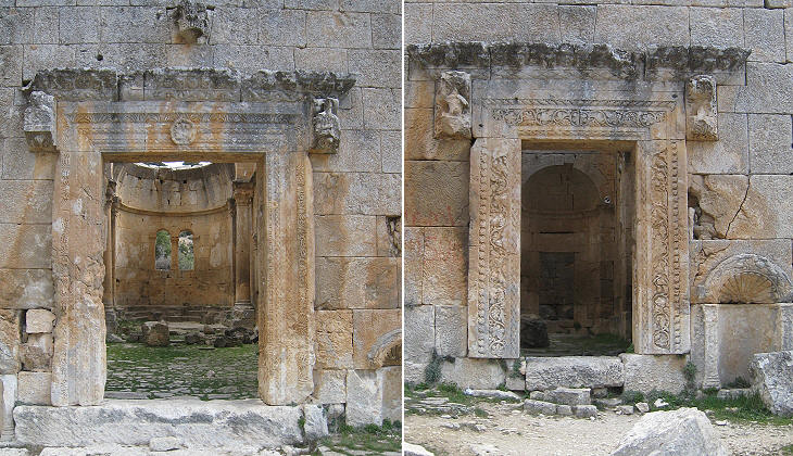
The eastern church was a large building with three naves each of them having a very decorated entrance; they were preceded by a (lost) narthex; as were all the buildings of the complex the church was built by making use of carefully cut and assembled stones, without mortar or bricks.
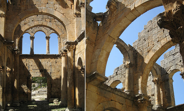
The structure of the building was strengthened by a wide use of arches which notwithstanding earthquakes and lack of maintenance have withstood the injuries of time.
The site does not show evidence of destruction or fire, so it is thought that it was abandoned before the VIIth century Arab invasion. The reasons for the monks leaving such an important complex can only be guessed; it is possible that the practice of living in a community (coenobites) underwent a period of crisis and that the monks preferred to live as hermits (anchorites) or that the monks at Alahan belonged to Christian doctrines, such as Monophysitism or Nestorianism, which were declared heretical.
The image used as background for this page shows a relief portraying a fish. Introductory page Konya Karaman On the Way to Nigde Nigde Kayseri Cappadocia Sivas Divrigi Map of Turkey with all the locations covered in this website     |
