  What's New! Detailed Sitemap All images © by Roberto Piperno, owner of the domain. Write to romapip@quipo.it. Text edited by Rosamie Moore. Page added in November 2008. |
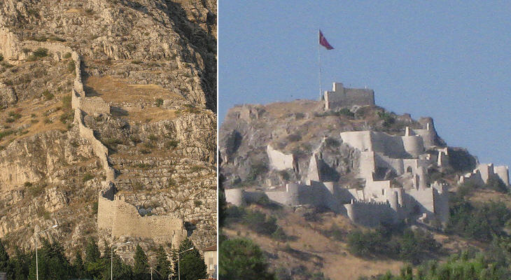
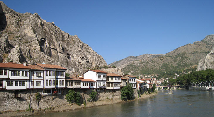
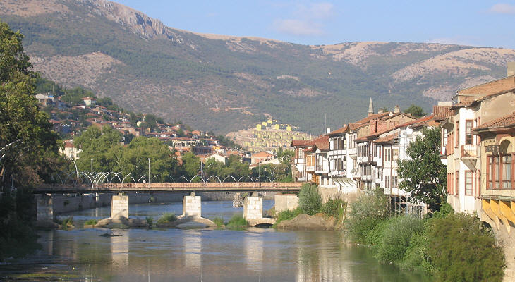
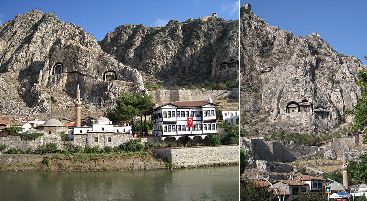
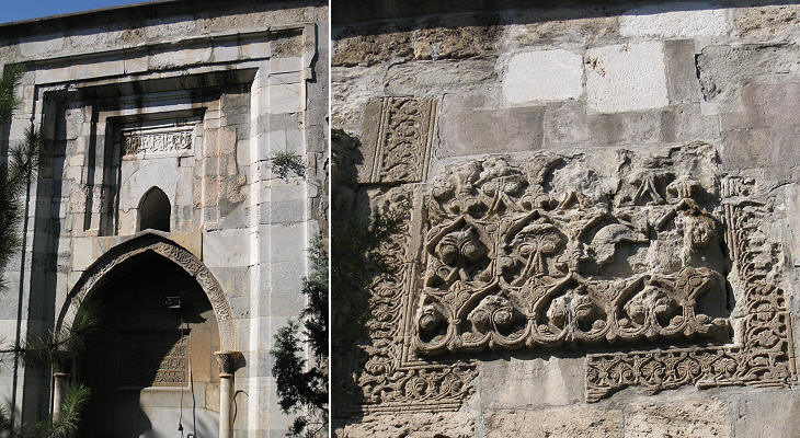
  - Amasya - page one: Pre-Ottoman Period - Amasya - page one: Pre-Ottoman Period(Ali Pacha Hammam in Tokat) Amasya is located at the foot of a steep and high hill which rises on the left bank of the Yesilirmak River. The hill was per sŤ a natural fortress and the river facilitated communication between the Black Sea coast and the central tableland.
Of the very ancient past of Amasya we know little until the town became the capital of the Kingdom of Pontus which was founded by Mithridates I in ca. 281 BC. He descended from an important Persian family and he managed to found his kingdom notwithstanding the hostility of the Diadochi, the generals of Alexander the Great who inherited his empire.
Many of the the kings of Pontus were named Mithridates; in order to retain their kingdom they had to manage a difficult relationship with the Seleucid Empire; by taking advantage of dynastic quarrels in the latter they expanded their possessions and in 183 BC they conquered Sinop.
The conquest of Sinop led to the first contacts between the Kingdom of Pontus and Rome. The Rhodians and the King of Pergamum, who were allies of the Romans, became wary of the expansion of Pontus.
The kings of Pontus sided with the Romans during the Third Punic War and overall relations with Rome remained good for over a century. The kings of Pontus expanded their possessions to parts of Paphlagonia, the region around Kastamonu.
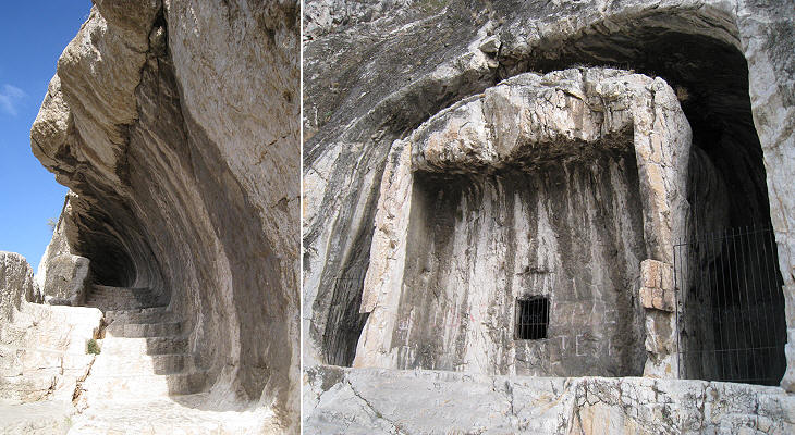
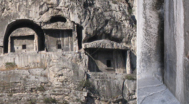
King Mithridates VI made an attempt to conquer the whole of Paphlagonia at the expense of the King of Bithynia who sought help from Rome. Mithridates was defeated by Silla and eventually by Pompey. The first kings of Pontus built their tombs on the cliff above their residence in Amasya.
During the first period of the Kingdom of Pontus (before the conquest of Sinop) the region was not yet Hellenized and the royal rock-cut tombs did not have the shape of a Greek temple as those of Kaunos and Myra.
The tombs do not show evidence of decoration; the presence of dowel halls in their walls indicate that they were covered by marble or timber panels.
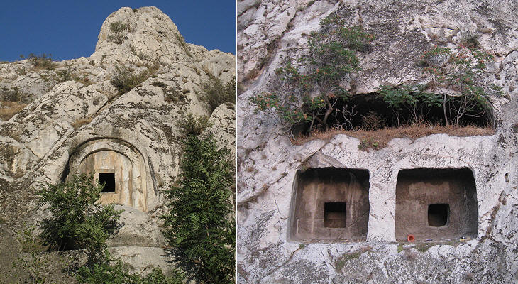
The custom of being buried in rock-cut tombs was not limited to the kings. Rock-cut tombs of a smaller size can be found in other parts of the town.
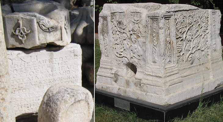
During the Roman rule Amasya continued to be an important town; its modern museum houses many reliefs and inscriptions of that period.
Emperor Alexander Severus probably visited Amasya in 232 AD, when he led the Roman armies against the Sassanids. The young emperor claimed to have gained great victories, but the result of the war was inconclusive. A couple of years later he was assassinated by his own legionaries who reproached him for having followed a policy of appeasement with the Germans. For this reason he was regarded as a traitor and his name was erased from inscriptions.
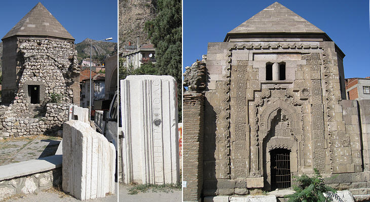
Amasya retains no major evidence of the long Byzantine rule. It is known that the fortress was strengthened to cope with Arab raids. After the defeat suffered by the Byzantines in 1071 at Manzikert, Turkic-speaking tribes established themselves in Anatolia. Amasya became part of an emirate ruled by the Danishmends, whose possessions included Sivas. The turbe (tomb) of a Danishmend governor of Amasya was built in ca. 1145; it is covered by a high pyramidal roof: tombs with this roof are known as kumbets. It was built making use of materials taken from a late Roman necropolis.
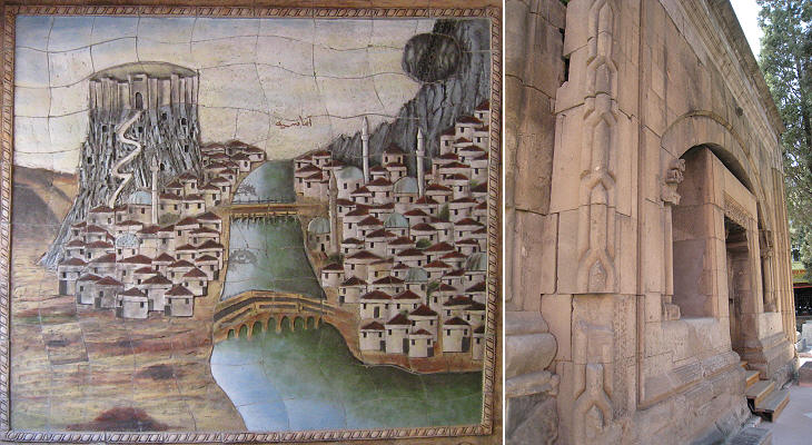
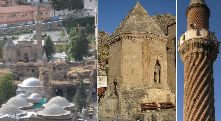
In 1174 the Seljuk Sultans of Konya conquered Amasya. During their rule they built a large mosque which was meant to be used during the Friday prayer (Ulu Camii, great mosque). The mosque was flanked by a kumbet, while the minaret was rebuilt in the XVIIth century in Ottoman style; its spiralling design gave a new name to the mosque. You may wish to see a similar minaret at Uc Serefeli Camii at Edirne. This mosque can be seen in the image used as background for this page.
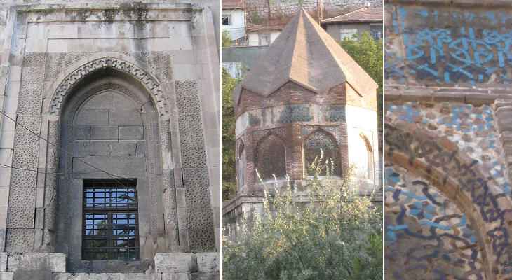
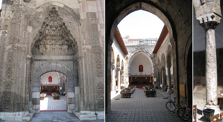
In 1243 the Mongols invaded Anatolia and they weakened the power of the Sultans of Konya who became their vassals. Amasya continued to be a prosperous town and was ruled by governors named by the Ilkhanids, a dynasty founded by the grandson of Genghis Khan. Gok (blue) Medrese was built in the second half of the XIIIth century and owes its name to the blue tiles which decorate the dome of its main hall.
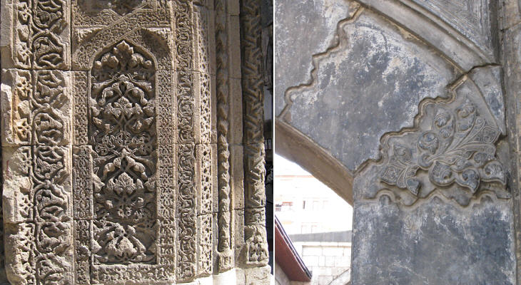
From an artistic point of view the moves from Danishmends to Seljuks and to Mongols did not mean a significant change. Reliefs based on geometric and floral patterns continued to be the prevailing artistic expression at Amasya. Torumtay Turbesi is a more complex tomb than a kumbet and it was built opposite Gok Medrese and approximately at the same time.
Ilkhan (king) Olcaitu Khudabanda reigned from 1304 till 1317; he is described as a virtuous ruler with an interest in science. In 1308 he founded a darussifah (hospital) in Amasya which is said to have cared for the mentally ill. Music was regarded as having a soothing effect on the patients and maybe for this reason the Municipality of Amasya has assigned this building to the local school of music. The detail of the portal shown below is very similar to that of Gok Medrese in Sivas.
Move to page two - Ottoman Period. Introductory page Safranbolu Kastamonu Taskopru Turhal and Zile Tokat Niksar Hattusa and Yazilikaya Clickable Map of Turkey showing all the locations covered in this website (opens in another window).     |
